I often get asked how we get our weather info and what apps we like. The short answer is that we primarily use the following:
- Windy (iOS, Android, and Windows) – free
- Radar — various apps
- Hurricane Tracker ($5.99 for web access; $1.99 for iPad; $3.99 for Android)
- Marine Weather Center (aka Chris Parker) — email and SSB forecasts at varying prices
I’ll discuss each of these a little more below. At the end of this article, I’ll list a couple more that we “sometimes” use.
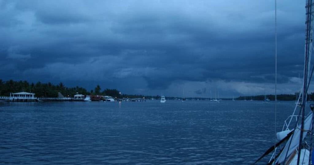
Apps, forecasting services and so on are all great. But as the former Sea of Cortez weather guru Don Anderson (Summer Passage) always said at the end of his forecast: “Local conditions will prevail. Don’t forget to look out the hatch!”
Two important notes: First, these are what we use for cruising Florida and the Bahamas. I’m sure other people will have other favorites — particularly for other areas of the world and ocean passages. (Please leave notes in the comments!) Second, all three of the apps require internet access; Marine Weather Center requires email access or an SSB receiver (see below, we prefer email).
WINDY

I absolutely love Windy for giving, literally, the big picture of what the wind, wave and rain forecasts are. Colors show wind strength (or waves, rain, etc.) and arrows show direction. You can also set it in motion to see the changes hour by hour, day by day. You can zoom in and out as well. No forecast is ever 100%, but Windy has been pretty accurate for us.
You can use Windy in any browser and it has iOS and Android apps. We prefer using it in a browser, even on the iPad and Android tablet — the apps have some weird bugs. FREE.
RADAR
Radar programs seem to come and go so I can’t recommend a specific one. I prefer ones that show how fast the storm cells are moving and in what direction.
HURRICANE TRACKER
Okay, there really isn’t anything in Hurricane Tracker that you can’t get on the (US) National Hurricane Center website (they do offer a bit of analysis but it’s not a lot different). What Hurricane Tracker does brilliantly is to make the information easy to access which is critical if you either have slow internet or pay by data used.
For each storm (and Invest and Potential Storm), Hurricane Tracker has all the NHC maps, satellite images and the official forecasts and discussion (they call the discussion NHC Analysis). It’s quick and easy to just tap or click from one to another, which it isn’t (at least to me) on the NHC site.
Ease of use is why I’m willing to pay for it (prices are for lifetime access): $5.99 for web access; $2.99 for iPad.
MARINE WEATHER CENTER
Marine Weather Center is the “proper” name for what most East Coat and Caribbean cruisers simply call “Chris Parker’s weather.”
Chris and his staff are full-time marine forecasters for this area and provide subscription forecasts both by SSB and email. If you subscribe on SSB, you can talk with him during his designated times for your location; we prefer email as it gives us more time to digest it, we can go back over it if we need to, and we’re not tied to a schedule for checking the weather. A couple of times we’ve emailed back with a question about a forecast and always received an answer within a few hours.
Yes, you can listen in on SSB without paying, but if you use their services with any frequency I suggest supporting MWC with a subscription — remember that this is a full-time occupation for the three forecasters, plus they have to pay for all the equipment they have.
Since Chris is a former cruiser, he understands weather as it applies to boats (what we care about, what is good for particular passages, etc.). He’s also done a great job of training the other forecasters who work with him on these things. The forecasts are quite accurate and, if anything, tend to err on the side of caution.
Check out all of Marine Weather Center‘s subscription packages from a single shot to a year’s worth of both SSB and email with numerous options in between.
EXTRAS
These are services that we don’t use all that often, but when we need them, they’re great.
Gulf Stream Location — not exactly weather but knowing the Gulf Stream location, velocity, and countercurrents can help in planning passages from Florida to the Bahamas. PassageWeather puts out a really nice graphic . . . unless you’re heading to Cuba or Mexico (then it’s cut off).
inReach Weather — when we don’t have internet coverage, getting weather info on our inReach fills in the gaps . . . somewhat. Read here about the forecasts available. In real life, when we were dodging two tropical systems, we found it better to contact a trusted cruising friend and having her pass the tropical info on to us as it was not available thru the inReach forecasts.


Carolyn Shearlock has lived aboard full-time for 17 years, splitting her time between a Tayana 37 monohull and a Gemini 105 catamaran. She’s cruised over 14,000 miles, from Pacific Mexico and Central America to Florida and the Bahamas, gaining firsthand experience with the joys and challenges of life on the water.
Through The Boat Galley, Carolyn has helped thousands of people explore, prepare for, and enjoy life afloat. She shares her expertise as an instructor at Cruisers University, in leading boating publications, and through her bestselling book, The Boat Galley Cookbook. She is passionate about helping others embark on their liveaboard journey—making life on the water simpler, safer, and more enjoyable.
Bogdan Raduta says
Did you guys tried PredictWind?
The Boat Galley says
Yes. I didn’t dislike it, and I’d use it if we were using satellite connections since they have sat-compatible apps, but I like the others better when we have regular internet. I know plenty of other people who prefer PredictWind, so I think it’s more a case of personal preference.
Rob on Avant says
We use Weather4d Pro on iOS for viewing gribs. We’re cruising Mexico and Central America, so many of the fancy things (like weather radar) are not avaiable here. The interface and display are fantastic, and the ability to trim and review forecast times and areas is great too. Works well on a poor internet connection, and is designed to work with iridium (although we don’t have iridium).
Diane Mercaldo says
Sailing in the Bahama’s this winter we used Passage weather,Wind Finder and Barometer Bob. Wind finder was the favorite. We will get SSB for our next travel there. We traveled to the end of Long Island in the Bahamas and got pretty accurate weather predictions.
Andrew Hogg says
My favourite hurricane site is Terrapin: http://hurricane.terrapin.com/ and it’s free. It seems to do all you suggest for your favourite but if you’re willing to have banner ads there is no charge. I also really like to check a satellite montage from Environment Canada for the “world Overview” of the weather patterns http://weather.gc.ca/data/satellite/goes_gedisk11_1070_100.jpg. they are the NOAA satellites but I like the EC presentation.
Carolyn Shearlock says
Thanks! Always looking for new or better!
Brian Davidson says
Hi Carolyn
Started using “Windy”. So far, I find it very useful and accurate here in the Gulf Islands off of British Columbia.
Carolyn Shearlock says
Good to hear. I really like it!
John Lennie says
Hi Carolyn,
Thanks for this post. My iPhone had to be replaced and I hadn’t backed up since getting these apps and I had forgotten their names. Hope to see you out there. We used to have a Gemini 105 and loved it.
John & Jan
M/V Float Her
Gena Olson says
Just attended the AGLCA spring rendezvous. Their weather person, Eddie, suggested windfiinder.com
Sailflow
Marineweather
We are newbies, just passing this along as info..
Gene Olson
B.ill says
Have you looked at “DarkSky” for hyper local weather forecasts? It is freakishly consistent but requires an Internet connection to do its mojo. Great for in harbor or near-shore.
Carolyn Shearlock says
Had not heard of it — thanks for the recommendation. I’ll look at it.
James Salkind says
DarkSky is fantastic for precipitation predictions that are eerily accurate, down to the minute of when rain or snow will start.
Anonymous says
Ian Bishenden
Edward Karadontis says
For Hurricane tracking I like Tropicaltidbits.com Maps with a forecast discussion.
Richard says
Could not find Storm in the Apple App Store. There is a Storm Radar from Weather Channel, not Weather Underground. I would recommend MyRadar
Carolyn Shearlock says
It apparently was shut down in the summer of 2018.