
This week one of The Boat Galley team, John Herlig, is helping to deliver a boat from Guatemala to Grenada – a straight-line distance of about 1600 nautical miles.
So how do you plan the routing for a trip like that?
While just drawing a straight line between two points (and jogging a bit to go around any inconvenient bits of land or shoals) works on one or two-day trips, it’s not the best approach to longer voyages.
John’s captain is responsible for their routing, but just for kicks John asked me the route I’d take. I said I’d use FastSeas. And despite FastSeas being owned and developed by Jeremy Waters, husband of The Boat Galley Podcast’s Nica Waters, John wasn’t familiar with it and wanted to know more. That made me think it’d be good to discuss here, too.
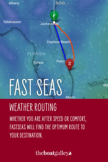
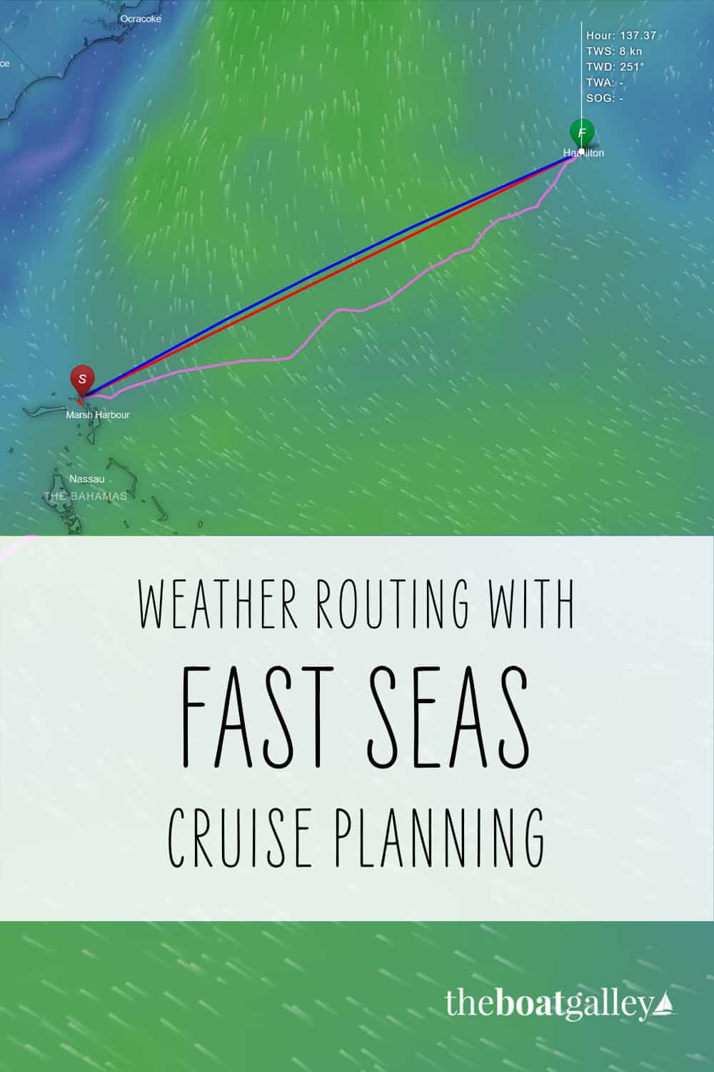
FastSeas is an online tool that considers the weather as predicted by NOAA, ocean currents, the boat’s sailing and motoring performance and the crew’s tolerance for conditions to come up with the optimum route.
It can even spit out waypoints for you to import into your chartplotter or nav program. And since the forecast can change day by day, FastSeas can provide updated routes by email (SSB or Iridium GO!) or inReach.
FastSeas is one aid to navigation, albeit a powerful one for longer voyages. It is only as accurate as the data you give it and the weather forecast; never blindly follow the route without double-checking it for dangers.
Here’s the ridiculous part: you can get 5 routes for free per month; unlimited routing is $10 per month or just $5 with an annual subscription ($60 paid upfront). That is dirt cheap for what you get! Even better — use coupon code BG20 for a special 10% discount at FastSeas.com.
Follow John’s trip here on his tracker; you can also contact him if you need delivery crew.
Be sure to subscribe to The Boat Galley newsletter to keep up with what we’re up to and get helpful tips and encouragement from the water.

Carolyn Shearlock has lived aboard full-time for 17 years, splitting her time between a Tayana 37 monohull and a Gemini 105 catamaran. She’s cruised over 14,000 miles, from Pacific Mexico and Central America to Florida and the Bahamas, gaining firsthand experience with the joys and challenges of life on the water.
Through The Boat Galley, Carolyn has helped thousands of people explore, prepare for, and enjoy life afloat. She shares her expertise as an instructor at Cruisers University, in leading boating publications, and through her bestselling book, The Boat Galley Cookbook. She is passionate about helping others embark on their liveaboard journey—making life on the water simpler, safer, and more enjoyable.
Leave a Reply